The log / section
Water: the sound, the flats and the shallows
Seven entries read the water itself: what the tide does behind Bogue Banks, what the marks of a channel mean, what a season of inshore fishing turns on, where the sound side shallows are shallow enough to wade, why a shellfish bed closes, how the sand of the island moves, and which birds work the marsh edge. All seven are dated, and each one names the body that holds the figures it cannot print.
Kept and written by The Bogue Sound Ledger editorial team About the Ledger contact@thechannelmarker.com
- Entries
- 7
- First
- Last
- Section
- Water
2026
7 entries dated in 2026
September 20264 entries
-
Why Bogue Banks moves, and how the beach is put back
The island you stand on at Atlantic Beach was not always here in the shape you see.
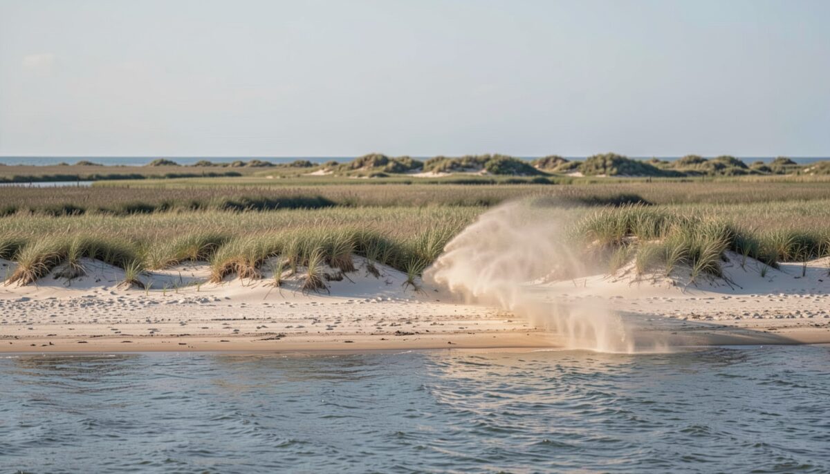
New sand over the dune line, and the wind already moving it. Water Read at slack 6 min
-
Shellfish waters on Bogue Sound, closures and how they are checked
Is the shellfish water open today, and who decides?
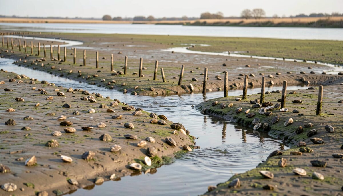
Oyster shell, stakes and a channel running through the flat. Water Read at slack 6 min
-
Channel markers and buoys on Bogue Sound, and how to read them
Bogue Sound runs shallow and wide, and the marks that carry a boat across it are read in one direction and one order.
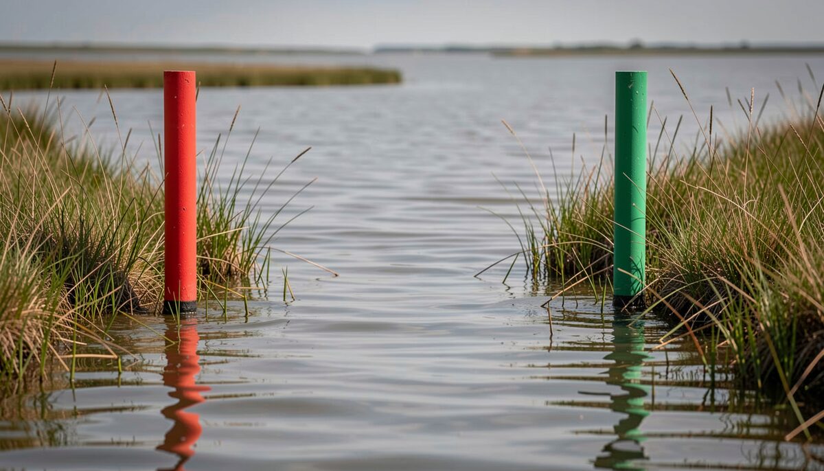
A red mark and a green mark holding the line of a narrow channel. Water Read at low water 5 min
-
Reading the tides and currents of Bogue Sound
Reading Bogue Sound begins with one plain fact: the water rises and falls on a rhythm, and that rhythm decides where you can go, where fish feed, and where the bottom comes up to meet a hull.
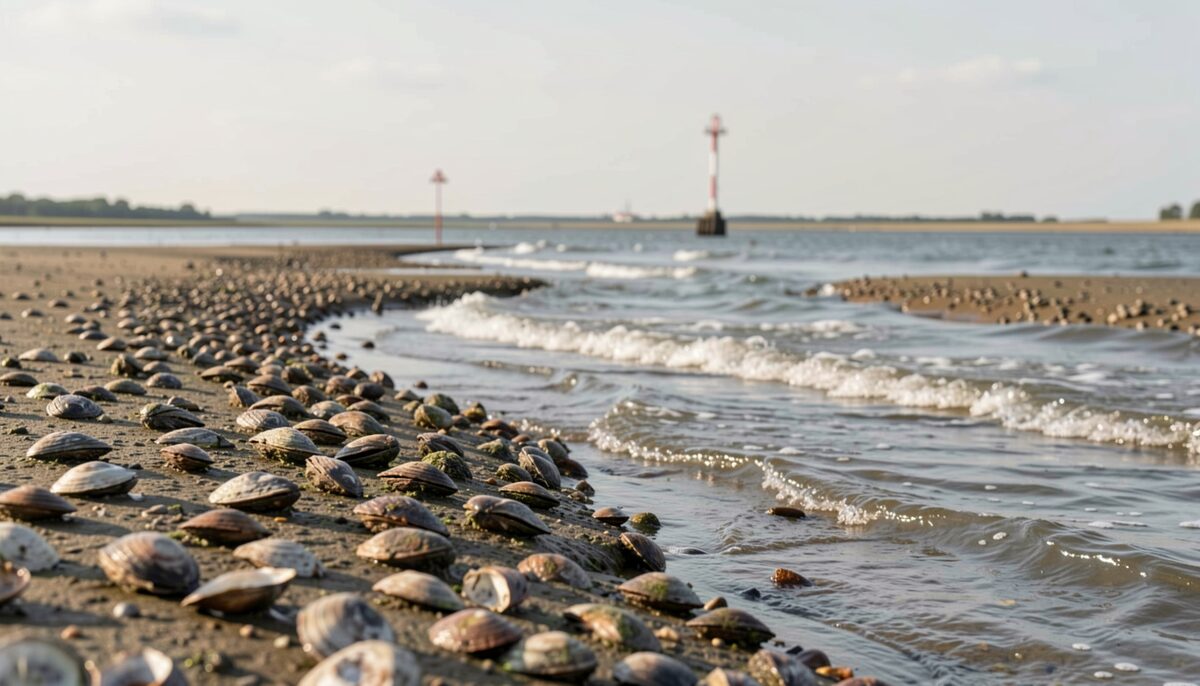
The bottom left bare, with a channel still moving through it. Water Read at low water 6 min


August 20261 entry
-
Sound side beaches and the shallows of Bogue Sound
Bogue Sound runs between the mainland and Bogue Banks, and its sound side beaches and shallows are a different world from the ocean beaches a mile away.
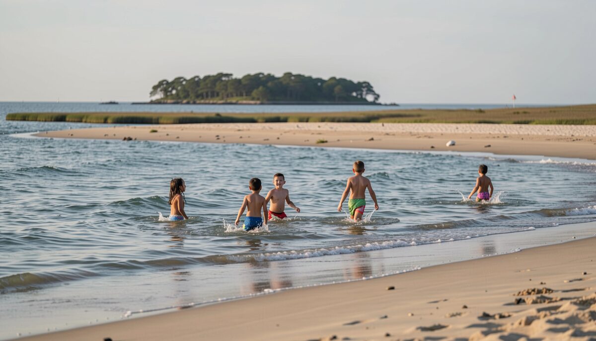
Children wading the shallows with the sandbar behind them. Water Read at low water 6 min

July 20261 entry
-
Inshore fishing the sound, a season by season look
Bogue Sound is a shallow, narrow stretch of water running behind Bogue Banks, the barrier island that carries Atlantic Beach and Pine Knoll Shores, and the fishing inside it changes month by month.
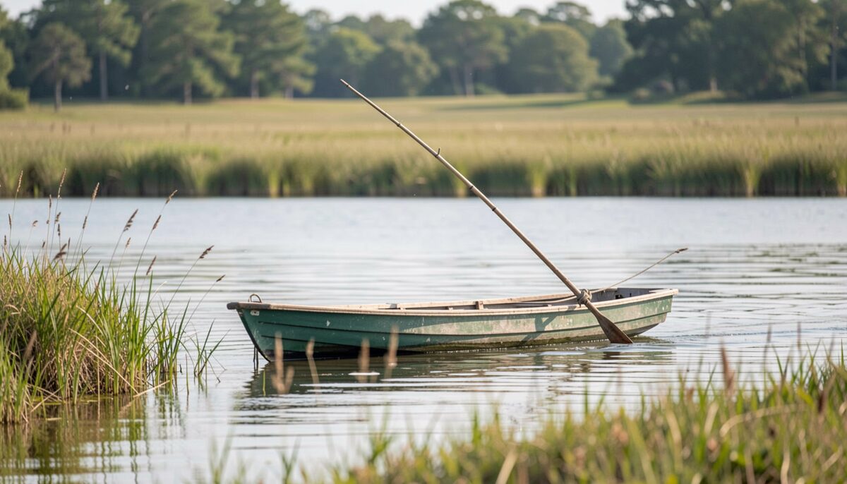
A skiff working a marsh edge on a quiet morning. Water Read at high water 7 min

May 20261 entry
-
Birding the marsh and the sound country
From the first light over the spoil islands to the last hour on the sound side, the marsh country between Morehead City and the barrier banks draws birds the way it draws water.
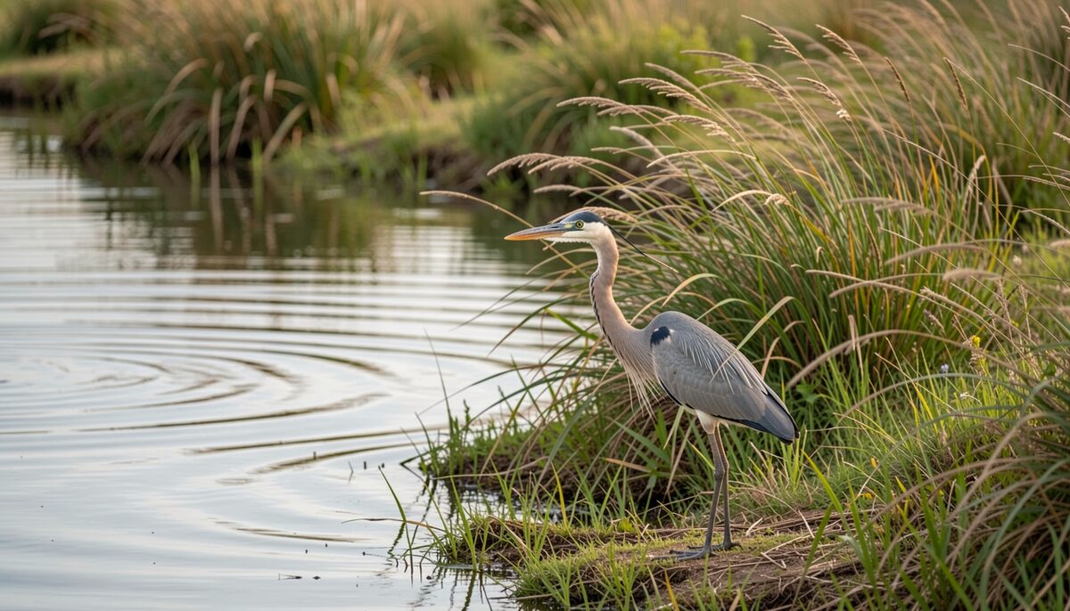
A wading bird working the edge of a channel on a slack tide. Water Read at low water 5 min

The Water entries, month by month
| Month | Entry | Dated | Read at | What the named body does not publish |
|---|---|---|---|---|
| September 2026 | Barrier islands that move, and the sand put back | Sep 16, 2026 | SLACK | Cape Lookout National Seashore publishes the state of its own undeveloped islands, and it does not publish the renourishment schedule for Bogue Banks. |
| September 2026 | Shellfish waters, closures and the daily check | Sep 16, 2026 | SLACK | The North Carolina Division of Marine Fisheries publishes its closures as proclamations, and it does not publish what any single bed will do tomorrow. |
| September 2026 | Channel markers and buoys, how to read them | Sep 16, 2026 | LOW WATER | The Coast Guard Navigation Center publishes the light list and the charted position of every aid, and it does not publish what the water over a mark will be on a given afternoon. |
| September 2026 | Reading the tides and currents of Bogue Sound | Sep 14, 2026 | LOW WATER | No tide time is printed on this page. The NOAA Ocean Service tutorial explains what drives a tide, and it publishes nothing for the flats behind Bogue Banks. |
| August 2026 | Sound side beaches and the shallows | Aug 24, 2026 | LOW WATER | Fort Macon State Park publishes its own hours and rules, and it does not publish a water depth for the shallows off any sound side beach. |
| July 2026 | Inshore fishing the sound, a season by season | Jul 9, 2026 | HIGH WATER | The NOAA Fisheries recreational pages publish rules and seasons, and they do not publish a catch report for one flat on one morning of the year. |
| May 2026 | Birding the marsh and the sound | May 19, 2026 | LOW WATER | The Audubon birding pages publish how to watch and what to look for, and they do not publish a count for a named marsh on a named morning. |