The log / section
Crossing: the bridge, the causeway and the routes
Five entries cover the crossing between Morehead City and Atlantic Beach. Two of them describe the crossing as it works today, one watches the water from the rail, one keeps the years in order, and one follows the watch, the warning and the order that empty the island. The bridge does not move; the water under it does.
Kept and written by The Bogue Sound Ledger editorial team About the Ledger contact@thechannelmarker.com
- Entries
- 5
- First
- Last
- Section
- Crossing
2026
4 entries dated in 2026
September 20262 entries
-
Hurricane season on the causeway, the watch, the warning and the way off
A hurricane watch over Carteret County is not a forecast that the storm will arrive, it is a notice that it could, and that the time to decide is now.
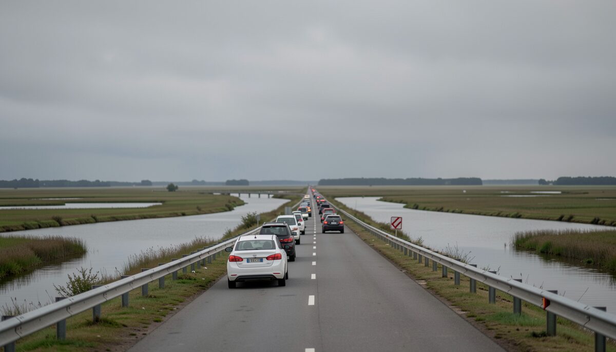
The road across the marsh with the sound on both shoulders. Crossing Read at high water 6 min
-
Watching the water, the causeway through the hours and the tides
The water off the causeway does not hold still, and the road above it does not either.
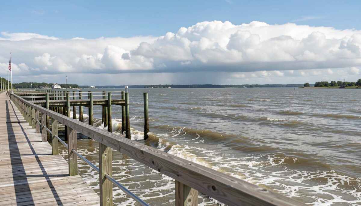
The tide running past the pilings at the middle of the day. Crossing Read at slack 6 min


July 20261 entry
-
The bridge and the causeway, how they work day to day
Two things carry traffic between the mainland and Bogue Banks: the bridge that lifts over the water and the causeway that holds the road steady across the marsh on the way to it.
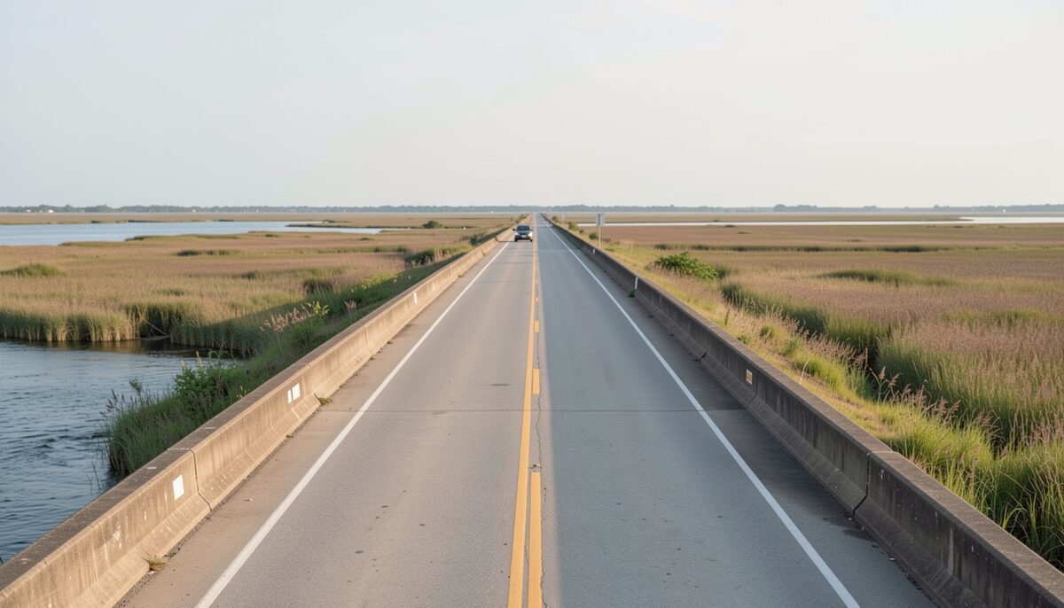
Traffic held at the barrier while the span is open. Crossing Read at high water 6 min

April 20261 entry
-
Crossing Bogue Sound, the bridge, the causeway and the routes onto Bogue Banks
Bogue Sound splits Carteret County in two: the mainland at Morehead City on the north shore, Bogue Banks on the south.
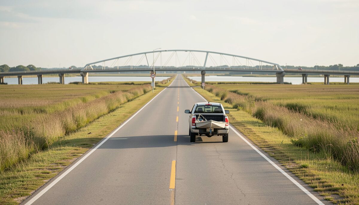
The road across the sound with a boat in the near lane. Crossing Read at high water 6 min

2025
1 entries dated in 2025
November 20251 entry
-
The causeway country and the island it reaches, year by year
You drive across Bogue Sound in a few minutes and reach Bogue Banks without noticing the water underneath unless you look left or right.
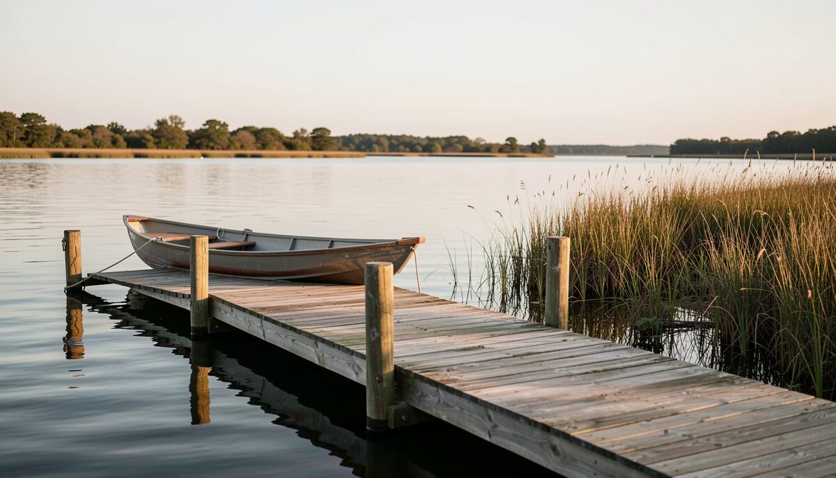
First light on the water the ferries used to read. Crossing Read at slack 6 min

The Crossing entries, month by month
| Month | Entry | Dated | Read at | What the named body does not publish |
|---|---|---|---|---|
| September 2026 | Hurricane season, the watch and the way off the island | Sep 16, 2026 | HIGH WATER | The National Hurricane Center publishes the watch, the warning and the forecast track, and it does not publish the evacuation zones or the order for Carteret County. |
| September 2026 | Watching the water, the causeway through the hours | Sep 2, 2026 | SLACK | The National Weather Service office at Morehead City publishes its own observations, and it does not publish what the causeway looks like from the rail. |
| July 2026 | The bridge and the causeway, how they work | Jul 28, 2026 | HIGH WATER | The NCDOT travel pages publish road conditions and closures, and they do not publish the opening times of a draw span on a given afternoon. |
| April 2026 | Crossing Bogue Sound, the bridge, the causeway | Apr 30, 2026 | HIGH WATER | The National Weather Service office at Morehead City publishes hazards for the coastal waters, and it does not publish road travel times over the sound. |
| November 2025 | A dated record of the causeway country | Nov 12, 2025 | SLACK | Cape Lookout National Seashore publishes its own history, its address and its update date, and it does not publish a complete ferry timetable for the years before the bridge. |