A dated log of the water, the crossing, the island and the kitchen
Kept and written by The Bogue Sound Ledger editorial team About the Ledger contact@thechannelmarker.com
The Ledger is a dated log of Bogue Sound and the country around it, kept from the causeway between Morehead City and Atlantic Beach, in Carteret County, North Carolina. Every entry says what the water was doing, what it is read at, and which body publishes the figures behind it. Nothing here is sold, booked or announced on behalf of anyone, and no number appears that cannot be traced to the page it came from.

What the log holds so far
Dated entries
22
Period covered
to
Sections
4
Named sources
11
2026
20 entries, from March to September
September 202611 entries
-
Roof damage after a storm: what to photograph from the ground
A storm-damaged roof is photographed from the ground, wide first and close second, and the climbing is left to someone whose job it is.
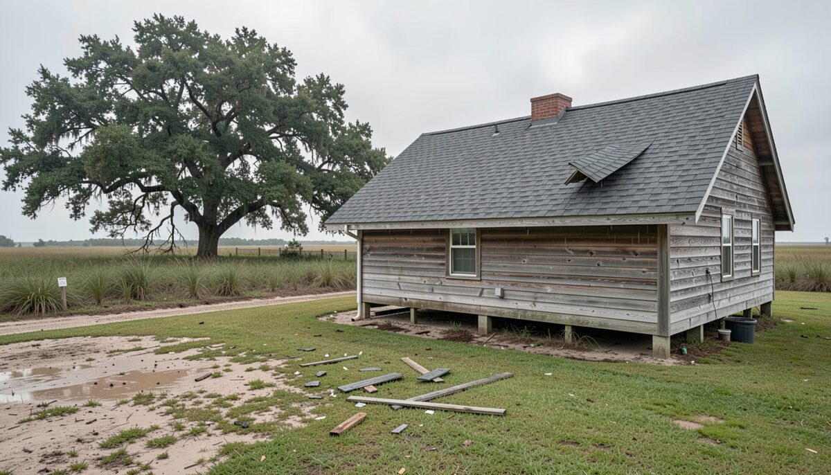
A shingle patch lifted near the ridge and loose boards on the wet grass. Island Life Read at low water 6 min
-
Sea turtle nests, shorebird closures and what a beach walker does
A stretch of Bogue Banks sand is roped off through the nesting season, and the reason is not one animal but two.
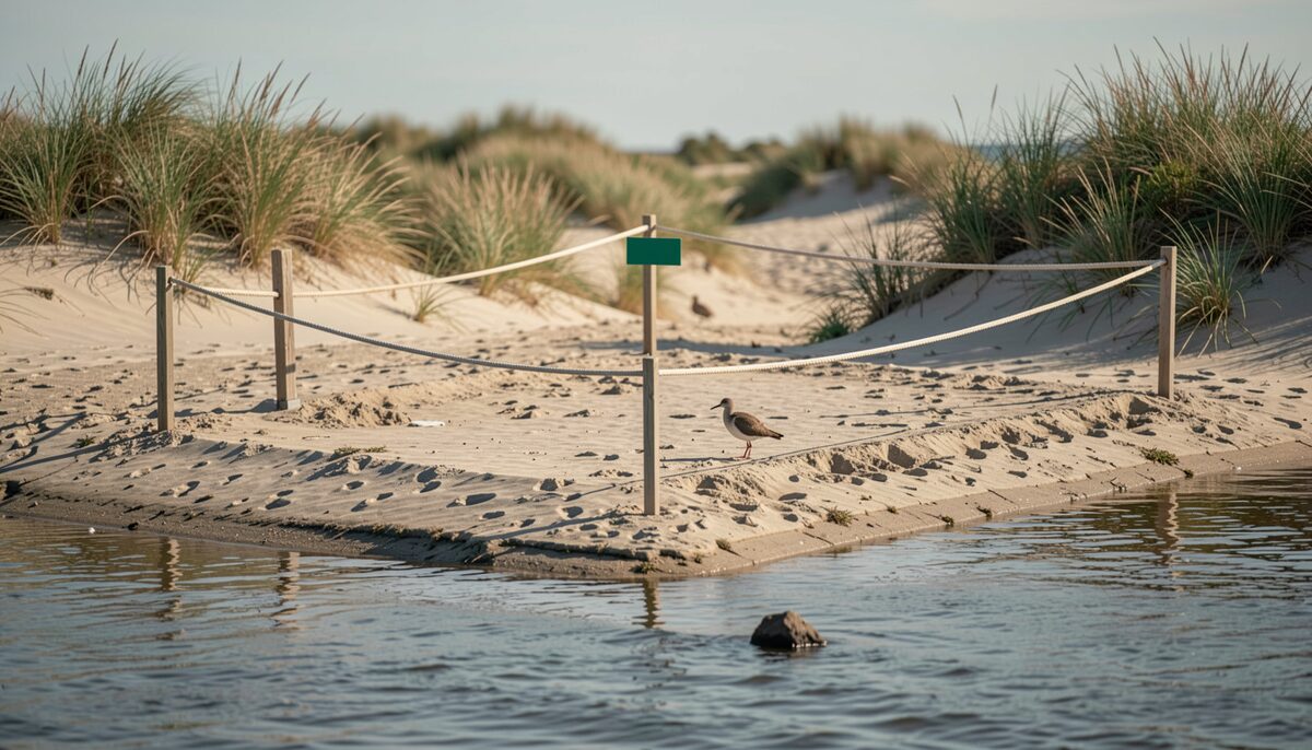
A staked line on the dry sand, with the wrack below it. Island Life Read at high water 6 min
-
Reaching Shackleford Banks and Cape Lookout, and what the crossing asks
You do not need to own a boat to stand on Shackleford Banks or walk up to the black and white diamonds of Cape Lookout.
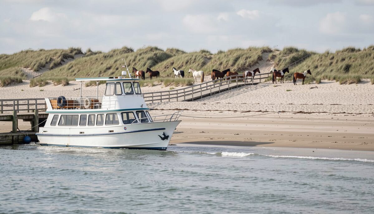
A passenger boat over the beach, horses on the dune line behind. Island Life Read at slack 6 min
-
A day on Bogue Banks with children, season by season
The island runs east to west between the sound and the open ocean, and a family day here is really two days folded into one.
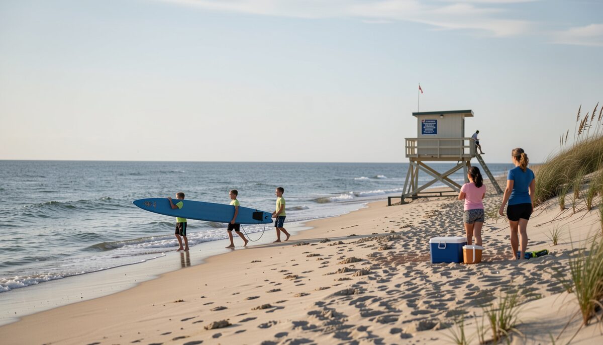
Children carrying a board to the water below the stand. Island Life Read at low water 5 min
-
Hurricane season on the causeway, the watch, the warning and the way off
A hurricane watch over Carteret County is not a forecast that the storm will arrive, it is a notice that it could, and that the time to decide is now.
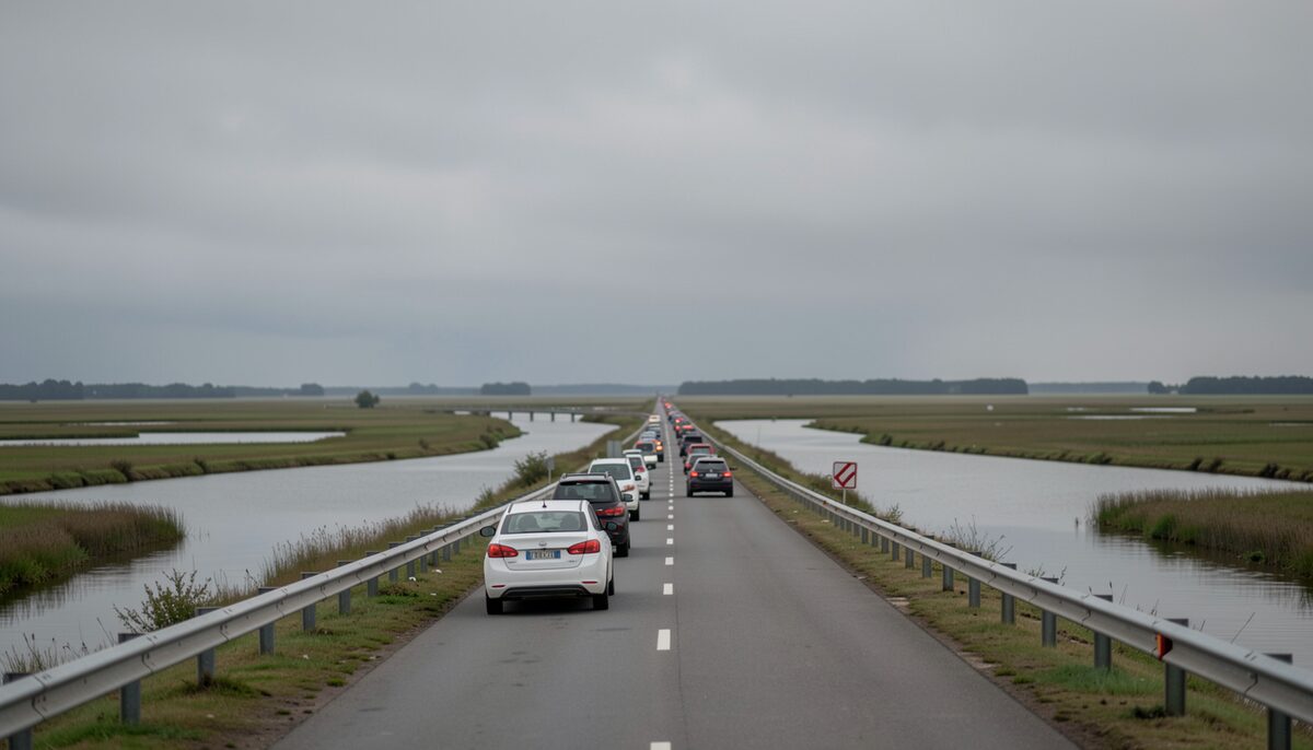
The road across the marsh with the sound on both shoulders. Crossing Read at high water 6 min
-
Why Bogue Banks moves, and how the beach is put back
The island you stand on at Atlantic Beach was not always here in the shape you see.
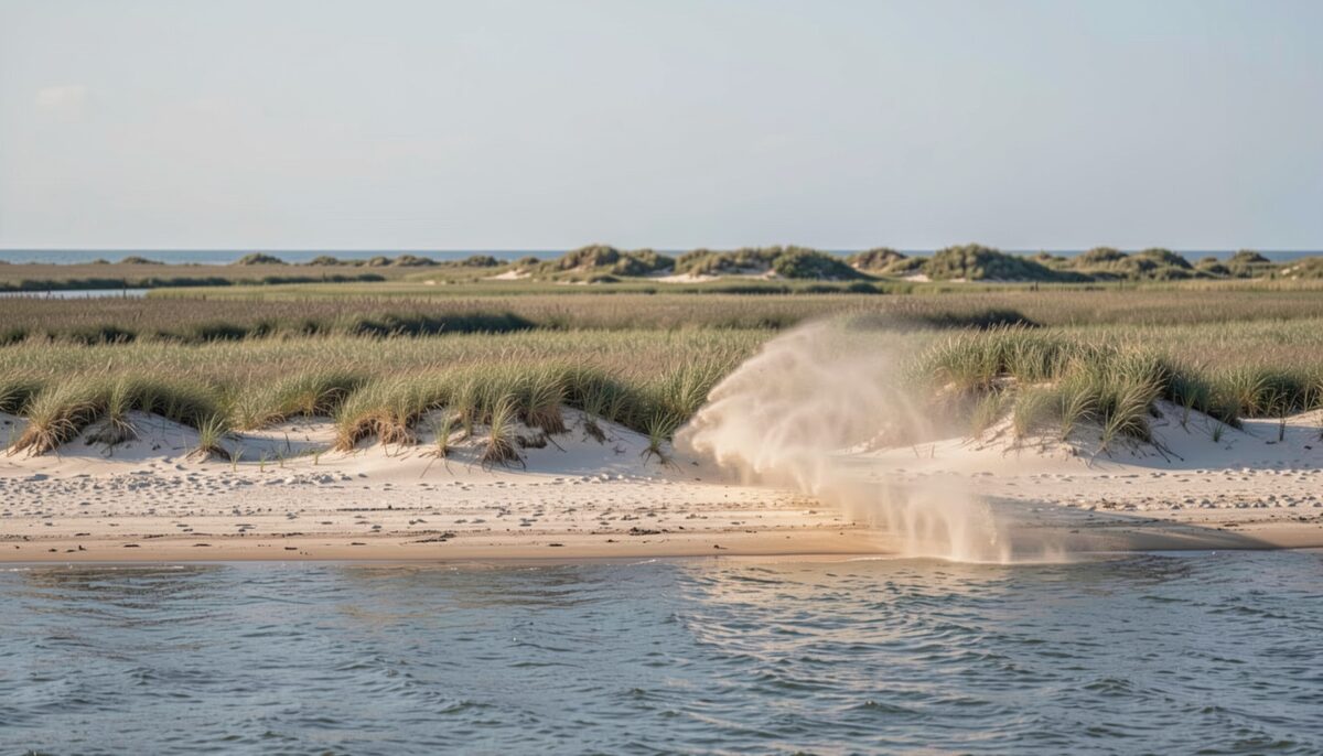
New sand over the dune line, and the wind already moving it. Water Read at slack 6 min
-
Shellfish waters on Bogue Sound, closures and how they are checked
Is the shellfish water open today, and who decides?
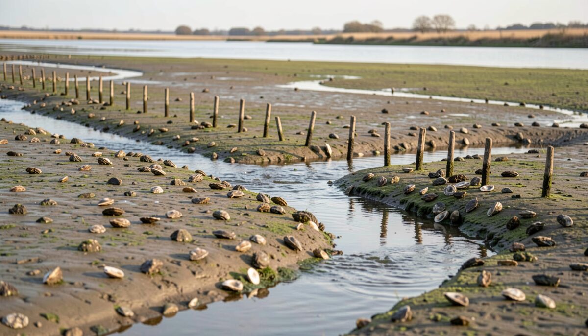
Oyster shell, stakes and a channel running through the flat. Water Read at slack 6 min
-
Channel markers and buoys on Bogue Sound, and how to read them
Bogue Sound runs shallow and wide, and the marks that carry a boat across it are read in one direction and one order.
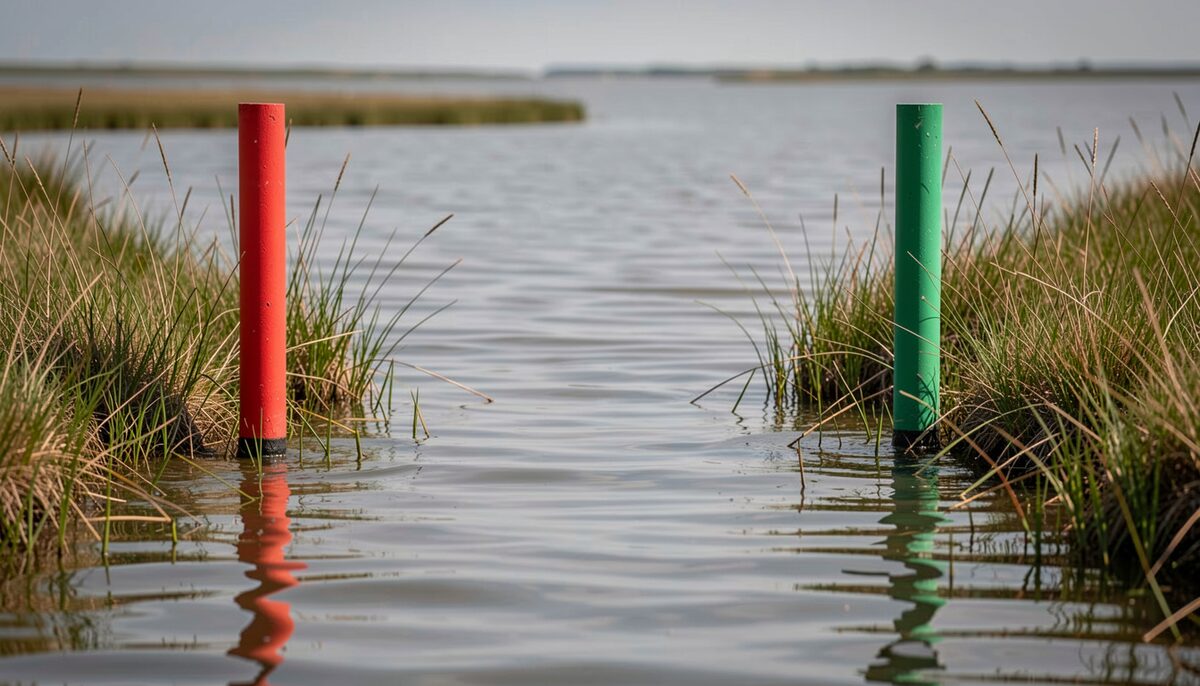
A red mark and a green mark holding the line of a narrow channel. Water Read at low water 5 min
-
How a sound side kitchen runs, from the dock to the winter
A sound side kitchen keeps a year the way the water keeps a tide: nothing is decided once.
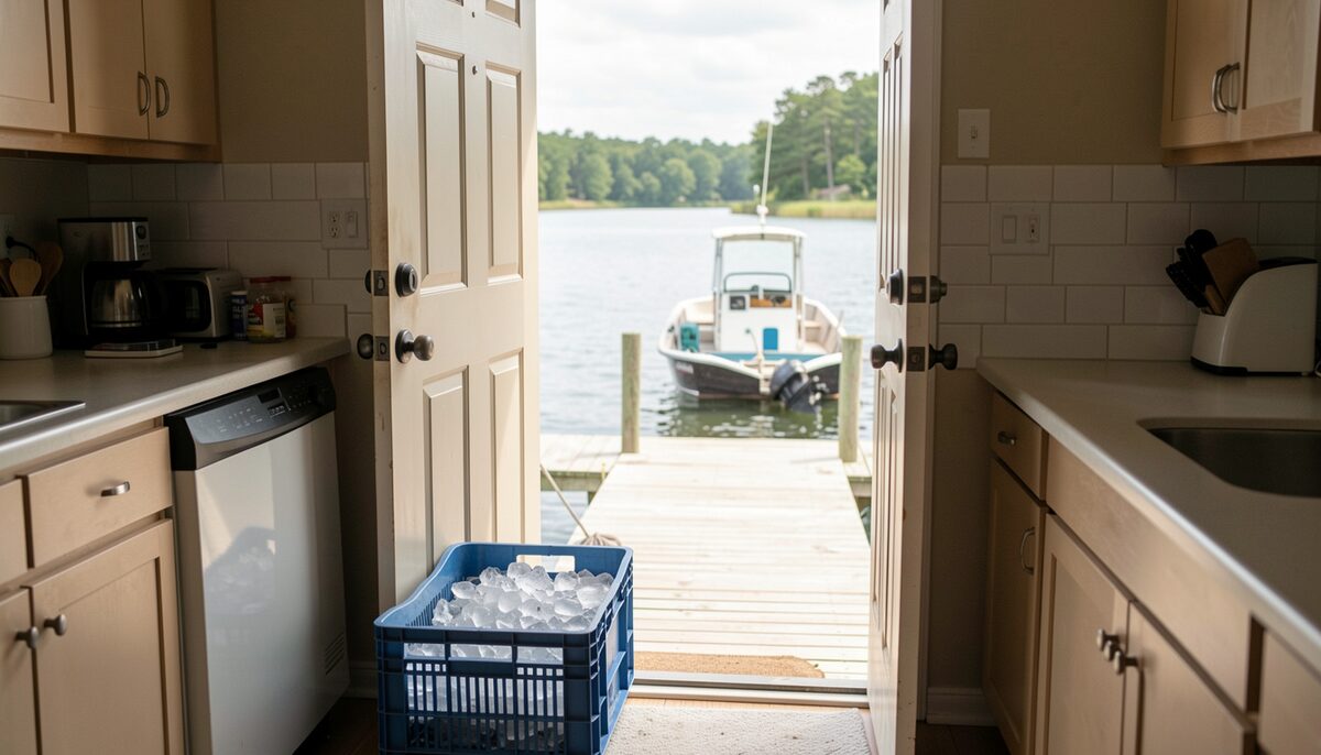
A crate of ice at the step, a work boat at the end of the walkway. The Kitchen Read at slack 7 min
-
Reading the tides and currents of Bogue Sound
Reading Bogue Sound begins with one plain fact: the water rises and falls on a rhythm, and that rhythm decides where you can go, where fish feed, and where the bottom comes up to meet a hull.
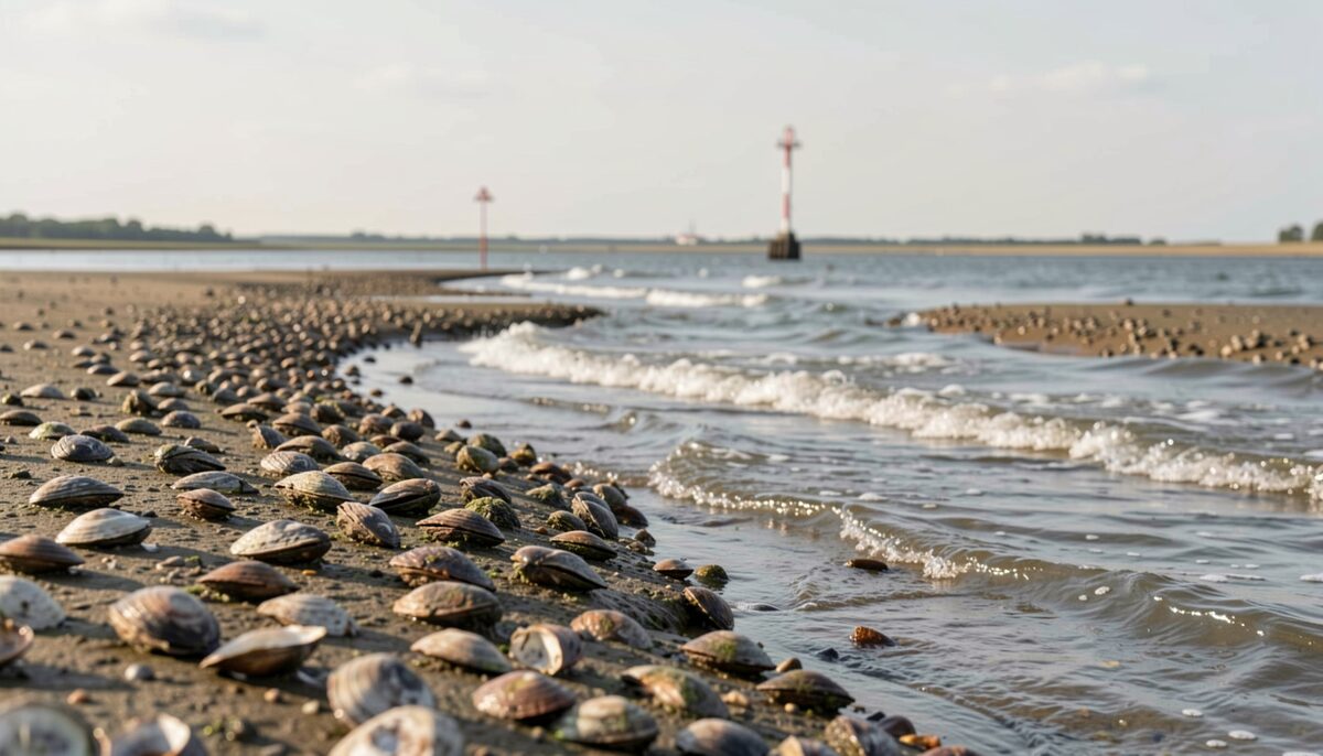
The bottom left bare, with a channel still moving through it. Water Read at low water 6 min
-
Watching the water, the causeway through the hours and the tides
The water off the causeway does not hold still, and the road above it does not either.
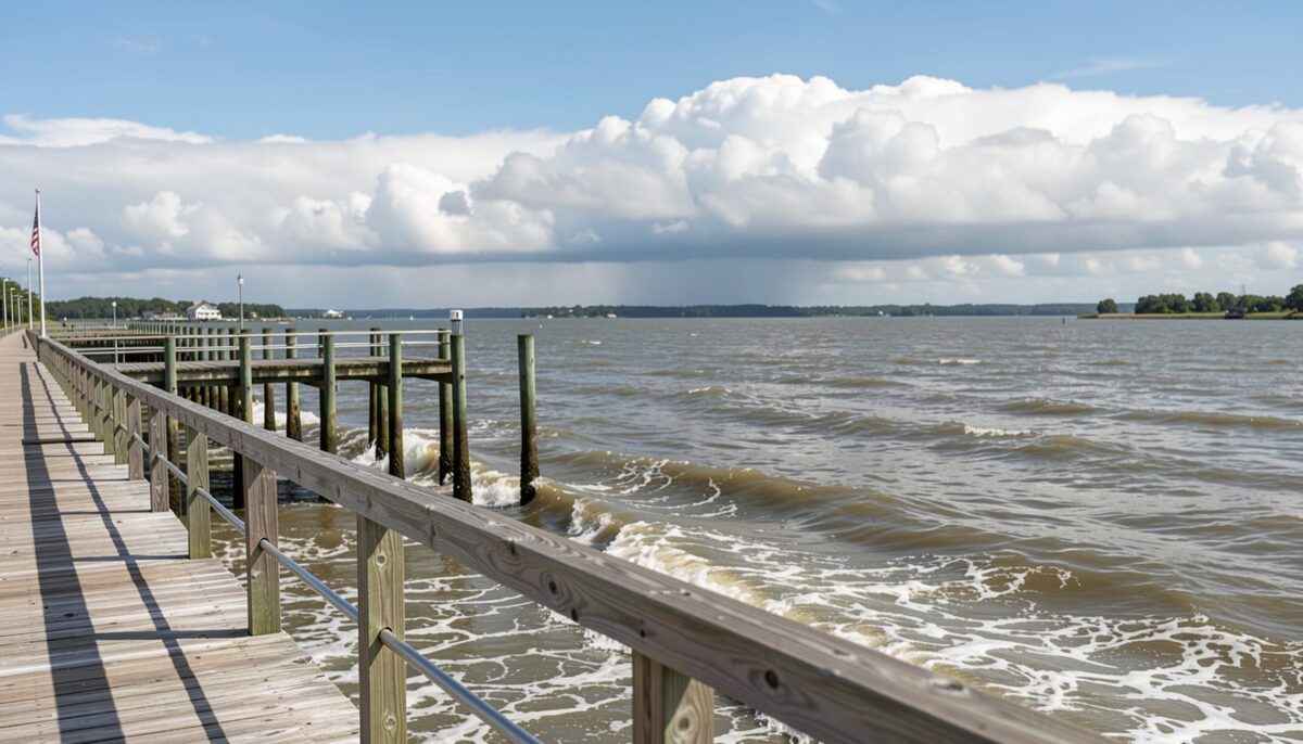
The tide running past the pilings at the middle of the day. Crossing Read at slack 6 min
-
chronicles village life year by year
The Eichenzell-Blog.de chronicles village life year by year from 2007 to 2013, covering the mayoral campaign, the 2008 runoff won by Dieter Kolb, the trade tax debate, the manor house and the castle.
The tide running past the pilings at the middle of the day. Crossing Read at slack 6 min


August 20262 entries
-
Sound side beaches and the shallows of Bogue Sound
Bogue Sound runs between the mainland and Bogue Banks, and its sound side beaches and shallows are a different world from the ocean beaches a mile away.
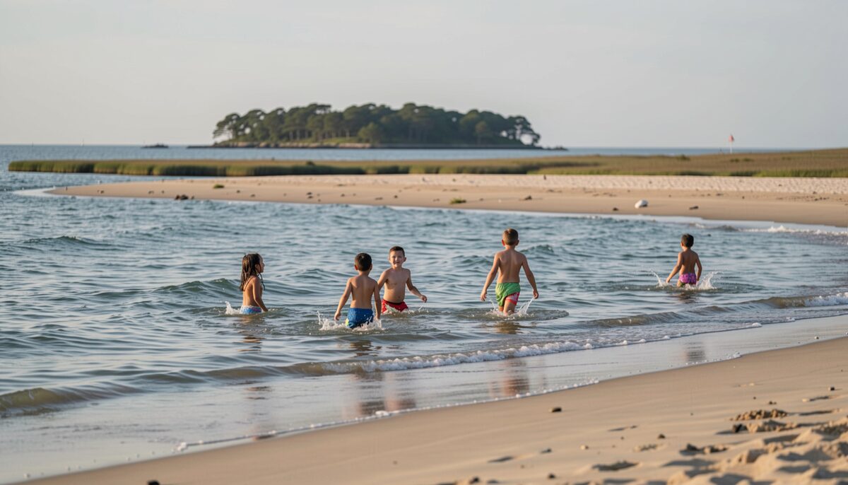
Children wading the shallows with the sandbar behind them. Water Read at low water 6 min
-
Shrimp, flounder and the sound plate at home
Shrimp and flounder are two of the most reliable plates on the Bogue Sound table, and both reward a cook who knows what to look for at the counter and how little needs to be done once the fish is home.
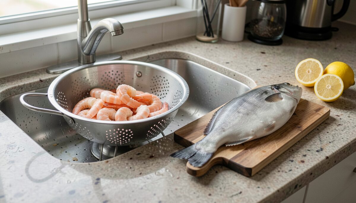
Shrimp, a whole flounder and lemon, ready for the pan. The Kitchen Read at slack 7 min


July 20262 entries
-
The bridge and the causeway, how they work day to day
Two things carry traffic between the mainland and Bogue Banks: the bridge that lifts over the water and the causeway that holds the road steady across the marsh on the way to it.
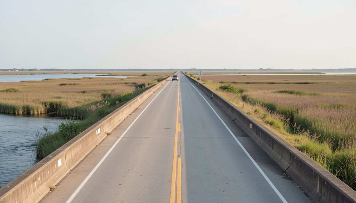
Traffic held at the barrier while the span is open. Crossing Read at high water 6 min
-
Inshore fishing the sound, a season by season look
Bogue Sound is a shallow, narrow stretch of water running behind Bogue Banks, the barrier island that carries Atlantic Beach and Pine Knoll Shores, and the fishing inside it changes month by month.
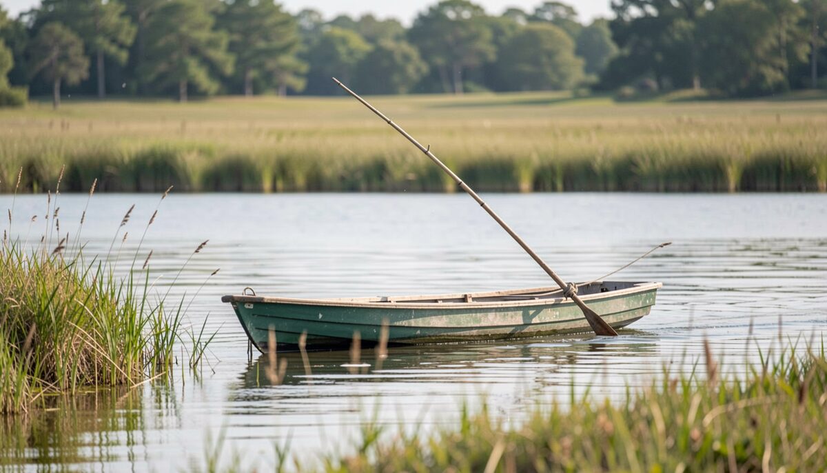
A skiff working a marsh edge on a quiet morning. Water Read at high water 7 min


June 20262 entries
-
Fort Macon and the eastern end of Bogue Banks
Fort Macon sits at the eastern tip of Bogue Banks, where the island narrows to a point between the Atlantic Ocean and Beaufort Inlet.
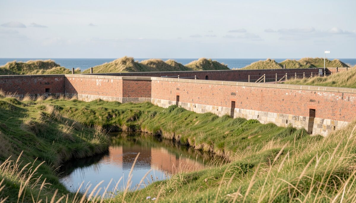
The rampart, the moat and the dunes beyond the wall. Island Life Read at slack 5 min
-
What a sound side seafood menu is built from, month by month
A sound side seafood menu is not a fixed list.
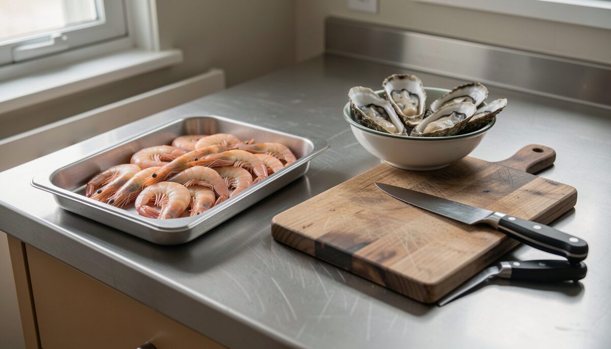
The raw material of a sound side menu on a steel top. The Kitchen Read at slack 6 min


May 20261 entry
-
Birding the marsh and the sound country
From the first light over the spoil islands to the last hour on the sound side, the marsh country between Morehead City and the barrier banks draws birds the way it draws water.
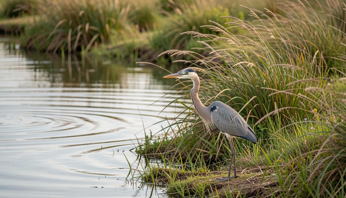
A wading bird working the edge of a channel on a slack tide. Water Read at low water 5 min

April 20261 entry
-
Crossing Bogue Sound, the bridge, the causeway and the routes onto Bogue Banks
Bogue Sound splits Carteret County in two: the mainland at Morehead City on the north shore, Bogue Banks on the south.
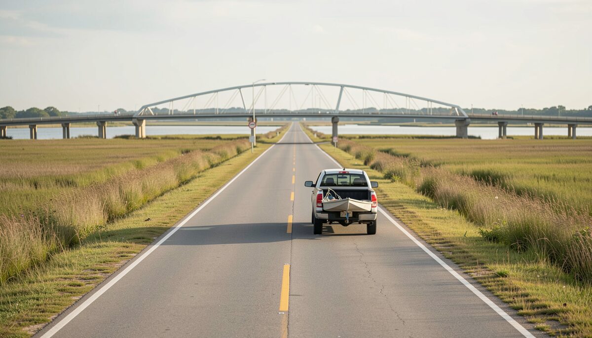
The road across the sound with a boat in the near lane. Crossing Read at high water 6 min

March 20261 entry
-
Cooking for a crowd on the causeway, deck, boat side and off site
You can cook for a crowd on the causeway if you treat the crossing as one long room with three different addresses.
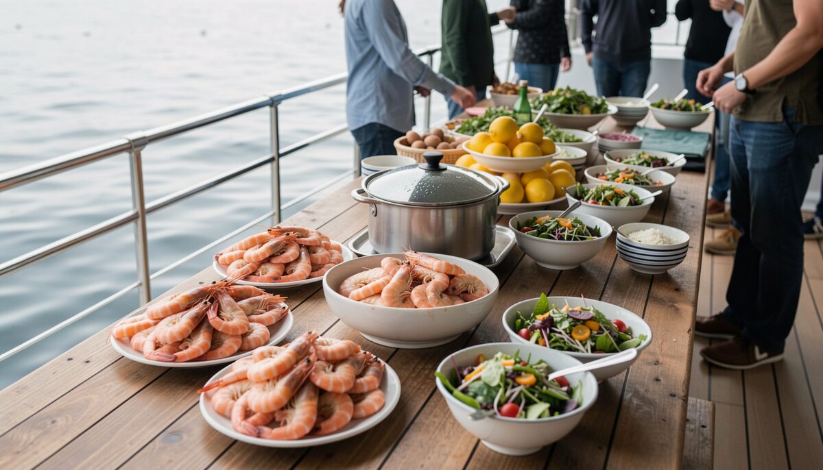
A long table set for a crowd with the marsh behind it. The Kitchen Read at slack 7 min

20 entries dated in 2026, listed above in date order, the most recent first.
2025
2 entries, from August to November
November 20251 entry
-
The causeway country and the island it reaches, year by year
You drive across Bogue Sound in a few minutes and reach Bogue Banks without noticing the water underneath unless you look left or right.
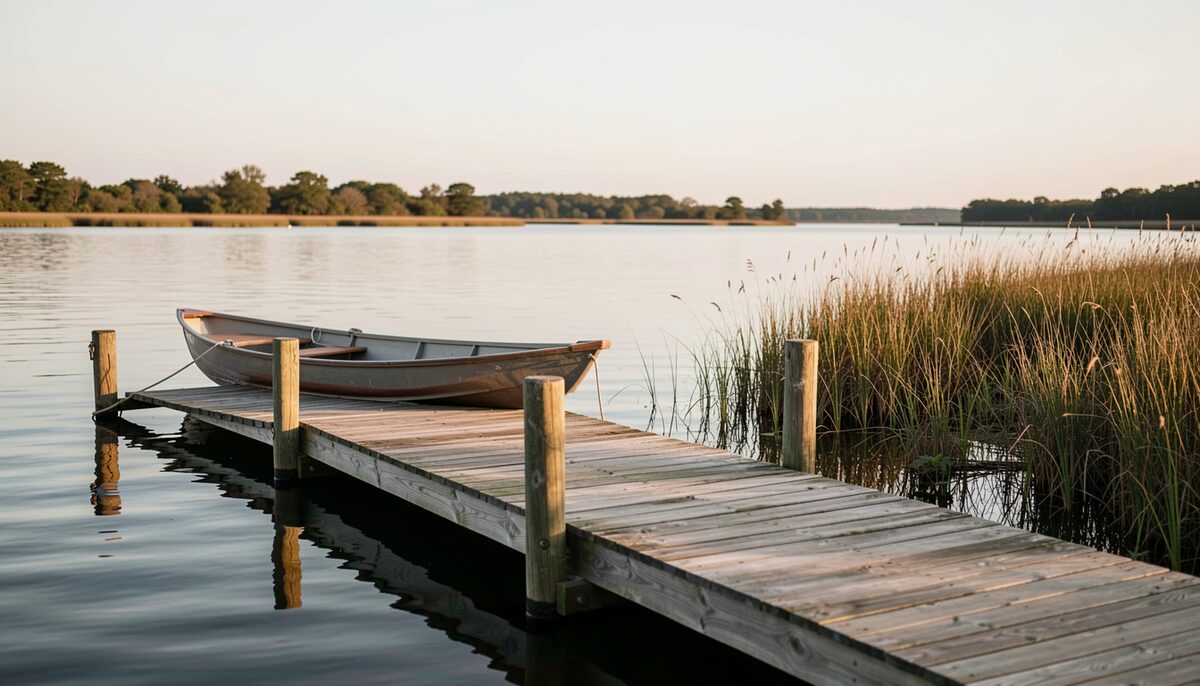
First light on the water the ferries used to read. Crossing Read at slack 6 min

August 20251 entry
-
The Carteret County calendar, what happens on which weekend
The Carteret County calendar turns on a simple hinge: the ocean beach and the sound fill in different months, and the fort at the eastern end of Bogue Banks keeps its own hours all year.
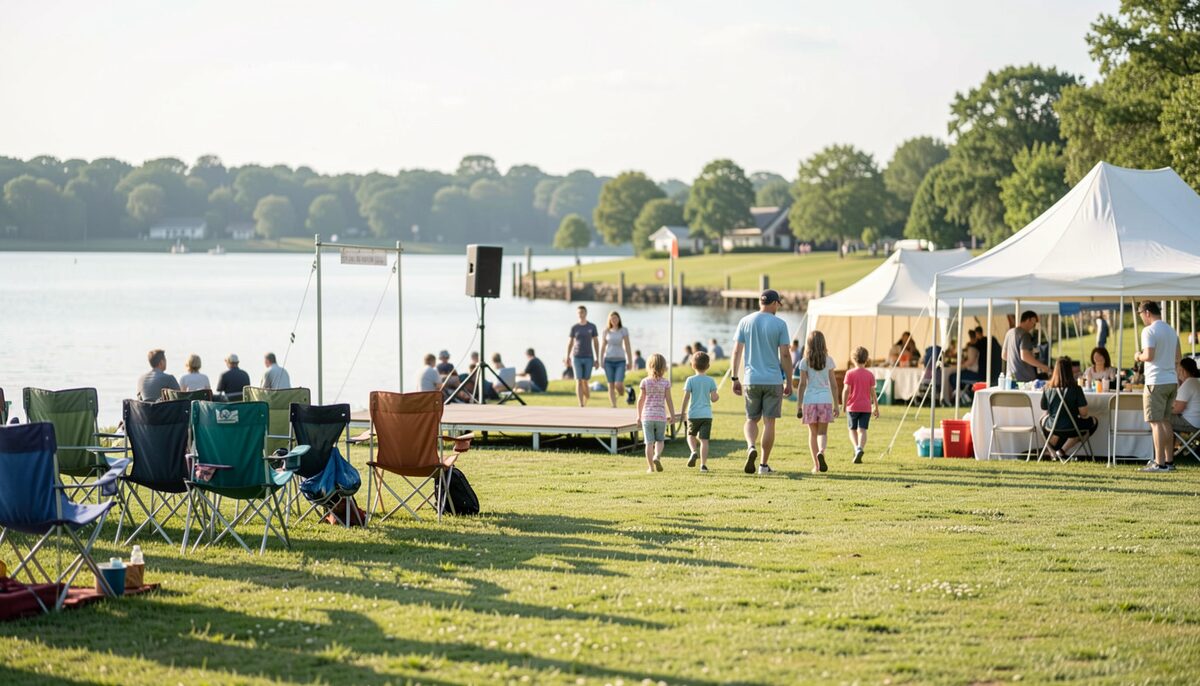
Chairs and a small stage set for a weekend afternoon. Island Life Read at slack 6 min

2 entries dated in 2025, listed above in date order, the most recent first.
The table of the sound, page by page
The kitchen of the sound is written from what the boats land, and it is rewritten every week by the board beside the door. Three entries follow it: what a menu is built from month by month, cooking for a crowd on a deck or off site, and shrimp, flounder, the sound plate at home.
The sound side kitchen through the year
How a sound side kitchen runs through the year: the dock at the back door, the ice, the deck season, the crews and the quiet months.
read at slackShrimp, flounder and the sound plate
Shrimp, flounder and the sound plate at home, buying, cleaning, cooking and serving the staples of the Bogue Sound kitchen.
read at slackWhat a sound side seafood menu is built from
What a sound side seafood menu is built from month by month, following shrimp, flounder, oysters and clams through the Carteret County year.
read at slackCooking for a crowd on the causeway
Cooking for a crowd on the causeway, on a deck, boat side and off site, with the logistics of steamers, coolers and low country boils in Carteret County.
read at slack
The crossing and the island
What the passage is, and what the page does not settle
Two ways lead onto Bogue Banks, and six entries describe what a reader meets on the way. The bridge and the causeway, and how they work day to day, are the first of them. At the eastern end the island narrows to an inlet, and Fort Macon at the eastern end of Bogue Banks is the landmark the county reads by.
Crossing
- What it is
- The bridge and the causeway, how they work. The two lane crossing between Morehead City and Atlantic Beach, its draw span, and the hours the span belongs to the water rather than to the road.
- What the page does not settle
- NCDOT publishes road conditions and closures, and it does not publish the opening times of the span on a given afternoon.
- What it is
- Crossing Bogue Sound, the bridge, the causeway. The routes onto Bogue Banks, the bridge approach, the causeway and what a driver meets at each end of it.
- What the page does not settle
- The National Weather Service office at Morehead City publishes hazards for the coastal waters, and it does not publish a travel time across the sound.
- What it is
- Watching the water, the causeway through the hours. The water seen from the rail, through the hours, and what the weather office records at the same time.
- What the page does not settle
- The recorded pages show the water and the weather; no page publishes how the crossing will look at four in the afternoon.
- What it is
- A dated record of the causeway country. The years of the crossing, from the ferries to the road, each year carrying the date that its holder publishes.
- What the page does not settle
- Cape Lookout National Seashore publishes its own history and its update date, and it does not publish a complete ferry timetable for the years before the bridge.
Island Life
- What it is
- Fort Macon and the eastern end. The fort, the state park and the inlet at the eastern end of Bogue Banks, on the land the road reaches.
- What the page does not settle
- The park publishes its hours and its tours, and it does not publish a tide time for the inlet beside it.
- What it is
- The Carteret County calendar. The island weekends, taken from what the bodies that run an event publish for themselves.
- What the page does not settle
- No single page in the county publishes a complete calendar of the county, so this entry names the body behind each date.